Asset management
The map-based asset management system visualizes infrastructure and other asset data in an easy way.
The geospatial data solution can reanimate your materials by using theme colors for various asset status, event and quality data.
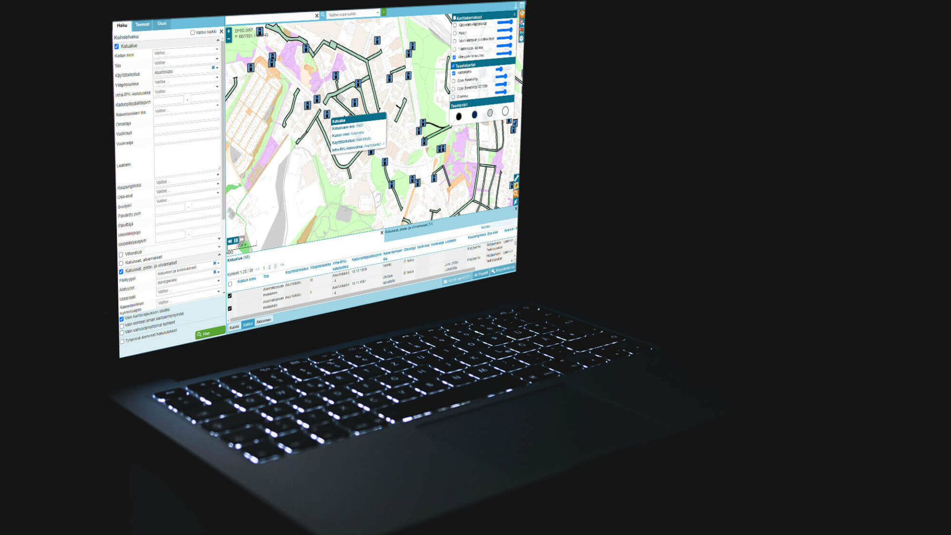
Put asset data on the map in an easy-to-view format
Color themes show asset statuses and events
Update material at the office and in the field in real time
The solution fits a large variety of applications
Assets are valuable
Assets you have on site may be built environmental work sites, traffic infrastructure, places of great value or nature sites. As a guardian, you need to take responsibility for the upkeep and life cycle data of your assets.
With the Geometrix geospatial data solutions, the location, events and condition data are stored and managed in a simple way.
Our solution model includes data mapping, integrations with necessary background systems, as well as importing fieldwork and events to data management. As a tool for the owner or caretaker, our family of map-based applications is easy to use, and they support a wide range of operations.
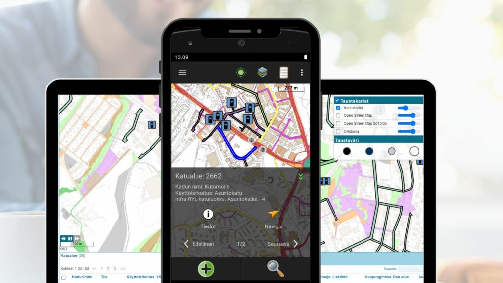
Asset data in your pocket
Our solution gives you control of your outdoors assets in an easy-to-read format.
The mobile app provides you with a wide-ranging toolbox for field use that includes search for asset data, editing, map visualization, attachments and creating new work sites.
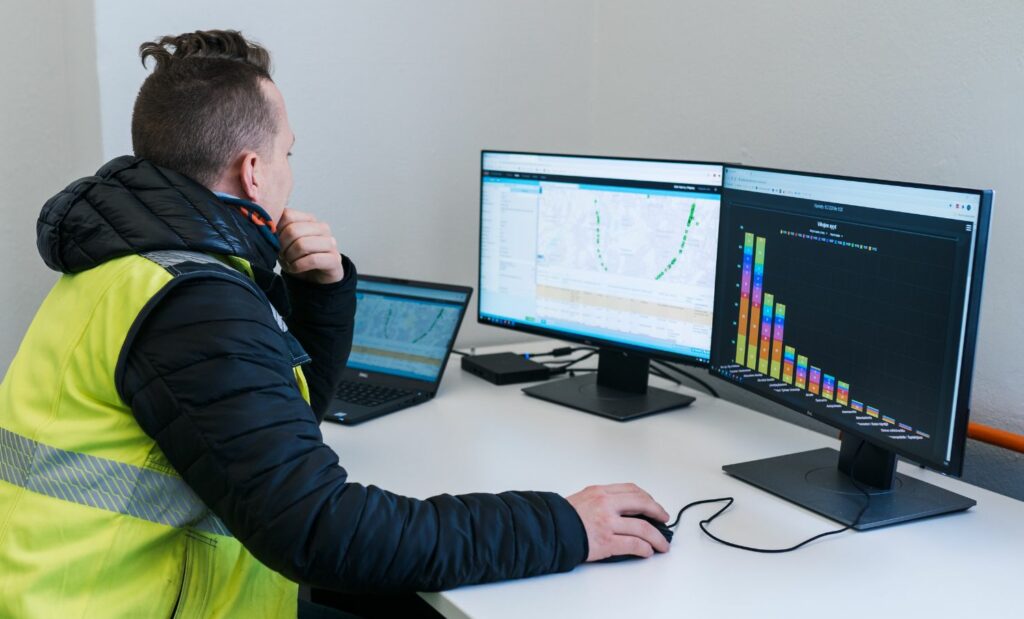
Empowering office productivity
Data visualizations and putting assets on a map give you a fresh perspective to data and asset management.
The map will show you the location of your assets, and also their condition or status. You can also view the latest inspection and maintenance visits.
We have implemented solutions to the following work sites, among others:

Municipal infrastructure

Trees and green areas

Railway track infrastructure

Cemeteries

Parking areas

Nature reserves

Traffic signs

Forest industry
Contact us
Please fill out the contact form if you have any inquiries or if you’d like more information about our products and services.