Infrastructure and contractors
Geospatial data puts infrastructure assets and site contracts on the map.
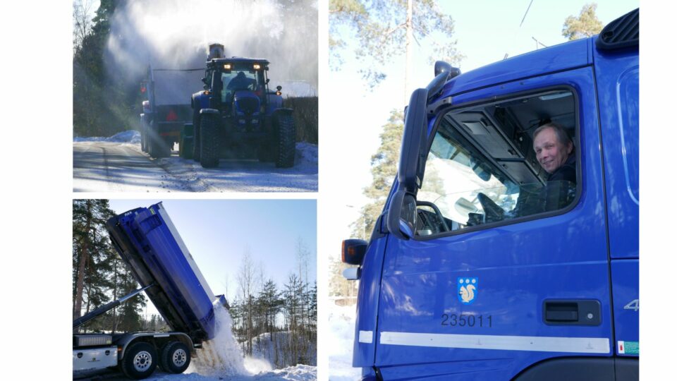
Geospatial data can optimize use of resources such as workforce, materials and fleets. This saves time and makes the operation more cost-efficient.

For mobile work
Geometrix map-based job-flow control has been developed for the needs of mobile work. Applications include asset maintenance types such as servicing, repairs, faults and other supervised field work.
The Geometrix tools form a seamless package that helps supervisors and field workers see the big picture and find the work sites in the right order.
Geospatial data generates several benefits for business operations and boosting operation
Optimize the use of resources and make sure they are used efficiently
Geospatial data puts workers, teams and fleets on the map
Real-time data enables fast reactions to changing circumstances or problems on site
The most common solutions for the infrastructure field and contractors

Registers of infrastructure
Data and events of assets to be maintained on a map

Supervision
Optimized assigning of tasks to resources and task status tracking

Vehicle solutions
Route and driving performance tracking

Site journal
Work site events on a map and in the journal

Situational picture
Supervisor’s real-time view of field events

Job entries
Task and project-specific work time tracking