
Parishes
Using geospatial data at cemeteries provides many benefits related to cemetery management, maintenance and customer services
Geospatial data helps the cemetery staff plan maintenance and care tasks more efficiently
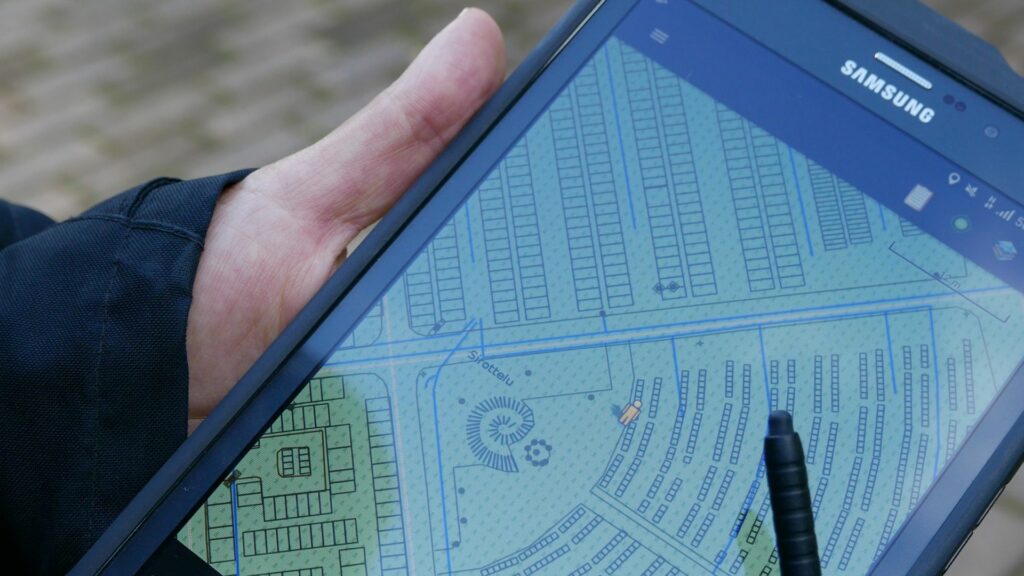
The mobile app brings the grave data, care plans and tasks with you
Digitalization generates accurate maps that show tombs, corridors and landscaping
Visitors can benefit from navigation services that helps them easily find the grave they are looking for
We bring cemeteries to the digital era
With the electronic application, cemetery data can be easily maintained and updated. Geospatial data puts tombs, landscaping and infrastructure, such as pipes, on the map.
Our flexible product concept adapts to the needs of churches of different sizes thanks to its modular design and adaptability. Our solutions are used by over 120 cemeteries.
Our solution for parishes

Digitalization services
We offer to implement the digital transition of cemetery data management from planning to implementation.

Cemetery data management
Cemetery work sites, grave data and environment data on the map.

Public grave search
A public grave search for visitors

Vehicle solutions
Utility run data such as lawn mowing, and winter maintenance saved and on reports.