Situational picture
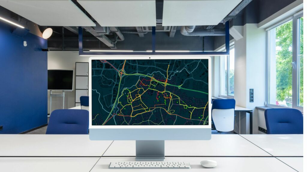
Geospatial data based situational picture aids decision-makers in quickly grasping where events occur and how they interrelate. This fosters efficient decision-making and operations.
View the events in one view in real time
A situational picture brings the data alive and creates an overall view of what is going on
Clear color codes and symbols
The data collected for the situational picture are agreed on with the customer
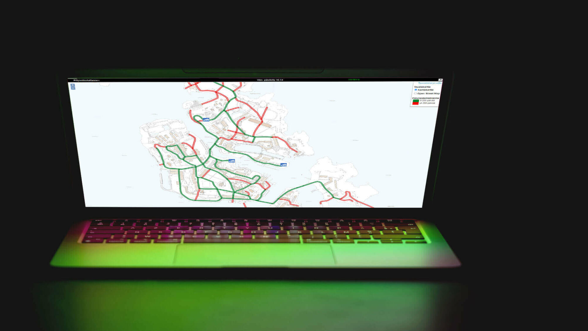
A situational picture is worth more than a thousand images
A situational picture is a particularly flexible, informative service that helps you see what is going on in the field. The real-time situational picture tells you the latest event times, maintenance visits, faults, vehicle locations or other important data in one view.
Work sites that require maintenance and visiting will not slip your mind when the data is always available through the cloud-based map user interface. The contents can always be defined one by one with the customer to make the most of it.
The situational picture keeps you up to date
You can use color codes or symbols for the situational picture to show the status of various work sites. You can, then, get a good overall idea and up-to-date situational picture of the events of a certain area.
Contact us
Please fill out the contact form if you have any inquiries or if you’d like more information about our products and services.