
Municipalities
Geospatial data has a central role in municipal operations. It provides efficient tools for planning, decision-making and resource management.

Knowledge supporting decision-making
Geospatial data helps municipal decision-makers plan and track maintenance, infrastructure and land use of the area.
Decision-making can be based on facts when geospatial data produces accurate data about the location and status of assets and infrastructure, as well as completed inspections and maintenance.
Geometrix has extensive experience in supporting municipal solutions
Geometrix has multiple ready-made solution models for various municipal needs
Integrations with municipal data registers bring data together in an easy-to-use system
Our applications are easily customizable to meet various needs
Our geospatial data solution to municipalities

Asset management
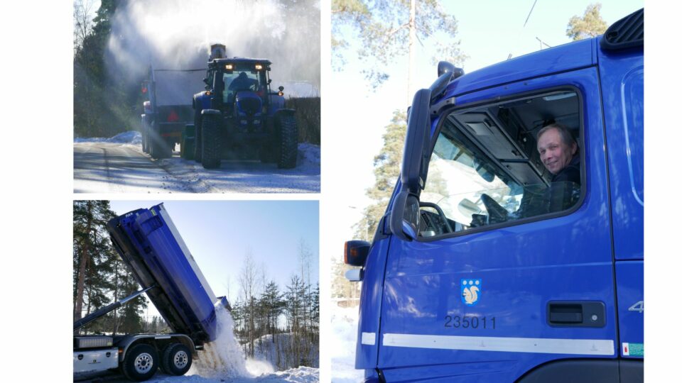
Municipal street and gardening infrastructure data management

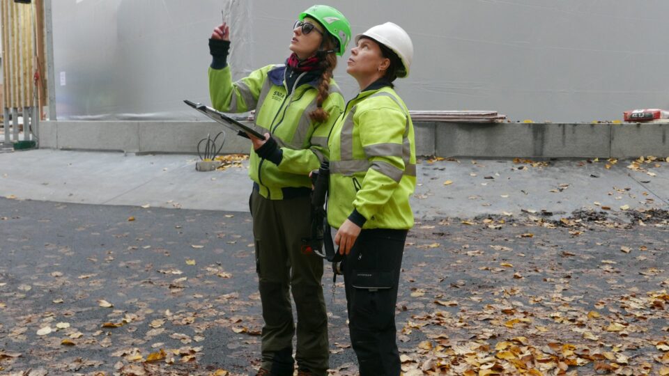
Field reporting
Field workers’ tool for monitoring, inspecting and data collecting

Vehicle tracking
Saving and reporting utility run route data

Supervision
Management of municipal and contractor task status

Site journal
Work site events on a map and in the site journal

Situational picture
Customer’s real-time view of field events
City of Kauniainen
Kauniainen takes pride in its reputation as a villa and garden city, requiring extensive maintenance work to maintain. Digitalization and geospatial…
Stara, arborists
The City of Helsinki utilizes Geometrix solutions for urban and park tree management both in the field and in the office.