
Environment
Elevate your environmental data collection with our geometric map-based applications, designed to seamlessly gather field data and present it visually for enhanced insights.
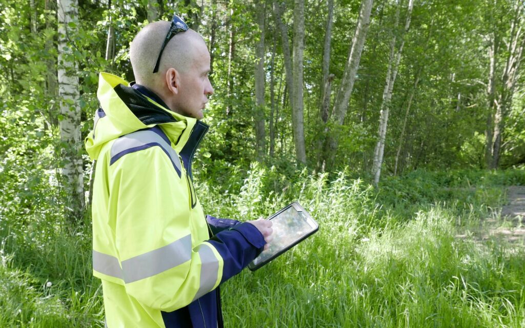
The mobile app with ready-to-use data collection forms makes observations in the field efficient
Geospatial data puts the data and observations on the map
The application enables adding photos to the observation entries
Data flow between the field and the office is seamless and up to date
GIS for the environmental sector
The Geometrix geospatial data service allows creating forms for collecting environmental data. The mobile application makes data collection in the field easy. The data menus in the forms and regulations guide the user so that making entries is effortless and produces the right kind of information.
The field data is transferred to the Geometrix cloud as an online or offline transfer as needed. From the cloud, the data can be retrieved, viewed, reported and edited using easy-to-use map applications.
The data can be further refined or enriched also with data from other systems such as laboratory results.
